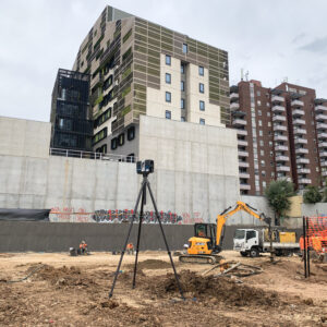
We're here to help
Professional Consultant

If you are a professional consultant such as an Architect, Civil Engineer or Landscape Architect you will understand the importance of using an accurate survey.
Webster Survey Group has been serving the needs of a variety of professional consultants for over 45 years and has surveyed many types of parcels including residential, commercial, industrial, existing buildings, roads and public reserves.
We use the latest technology and can provide digital files in any required format such as dwg, dxf, rcp, rcs, e57, a 3D surface area or 3D contours.
In addition to the traditional 2D output Webster Survey Group has kept up with advancements and the needs of our clients and also provides 3D information such as point clouds or 360-degree visual walkthroughs.
Even in situations when direct access to a site is not possible, we will endeavor to use remote techniques to ensure the information you need is obtained.
Some of the tasks Webster Survey Group can help you with include;
Feature & Level Survey
Our team understand the importance of providing a feature & level survey that has a high level of accuracy and detail you can rely on and use with confidence. We also have the latest specialist equipment to ensure we can capture information that is not readily accessible such as obstructed windows on an adjacent property, roof details on a multi-level building or details on a busy roadway.
Title Re-Establishment
It is of paramount importance to ensure any proposed works are situated within the legal title boundaries of a parcel. When there are discrepancies on site between perimeter fencing and the legal title dimensions our Licensed Land Surveyors will advise you on the design limitations so you can ensure your design will not be encroaching onto an adjacent property. We will also provide guidance and outline the process if there is a possibility of amending title or claiming land by way of adverse possession.
Building Surveys
We can provide detailed building plans including floor plans, reflective ceiling plans and building elevations to assist with refurbishment, building extensions and heritage assessment.
Point Clouds
Point clouds can be provided for any internal space, outdoor area or roadway if your preference is working in a 3D format. Every facet of a site is captured and digitally recorded to assist with review, design and construction.
360 Degree Walkthroughs
Webster Survey Group can bring any site to your desktop by providing a full realistic view and the visual information needed to understand the environment. Full spherical images, maps and floor plans are integrated together in the one system to build a virtual walkthrough, thus giving you full visibility whilst saving the costs and time associated with continuous site visits.


